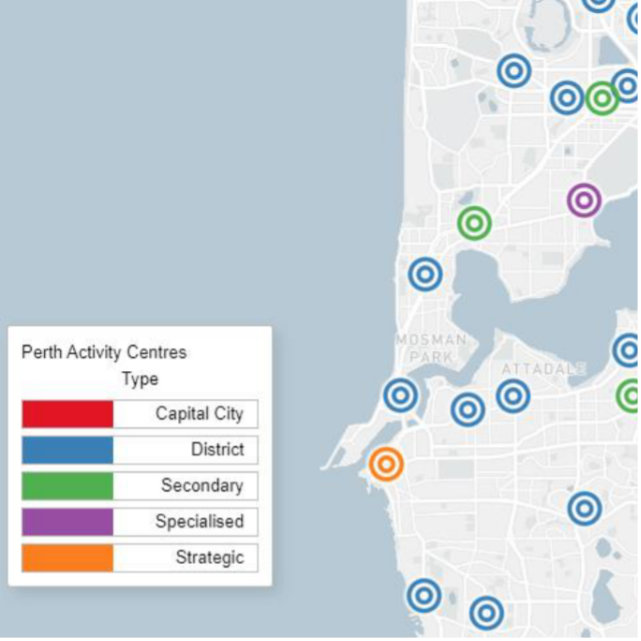
Perth Activity Centres
End client
Flyt (Department of Transport – WA)
Services
Location
VLC was subcontracted to Flyt to undertake a Public Transport accessibility analysis for the Department of Transport WA, to determine how easy it is for people to travel to and from outer metropolitan activity centres in Perth and Peel by public transport based on current services.
Client requirements
The Department of Transport have expanded the scope of Perth’s Mass Transit Network Planning to the whole of the Perth Metropolitan area and have sought an accessibility analysis on several important activity centres.
The work requested an understanding of:
- how these centres are currently being accessed
- current public transport and trends
- identifying missing transit links from activity centres
- identifying corridors best suited for mass transit options to connect poorly linked activity centres
Delivered outcome
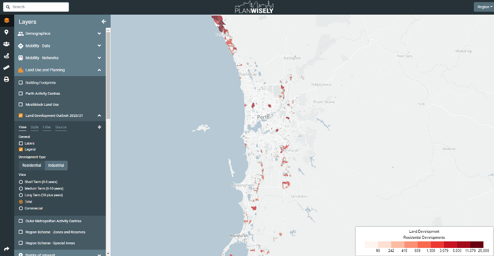
VLC worked with Flyt and the Department of Transport WA to identify datasets and metrics that would demonstrate existing and future levels of accessibility among outer metropolitan activity centres. The team developed extensive data requests to compile diverse and relevant datasets across the WA Government. These datasets were processed for maximum visual
and explanatory power in a closed instance of VLC’s web-based Planwisely platform alongside open datasets, such as ABS Census information.
WA Government data processed and visualised in DOT’s version of Planwisely includes:
- Future population and employment projections
- Current origin-destination data from the WA Government’s subscription to telco handset information
- Future travel demands from the WA Government’s STEM model
- Major road PT corridors
- Walk catchments to rail stations
- Long Term Cycle Network
- Future transport network upgrades
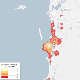
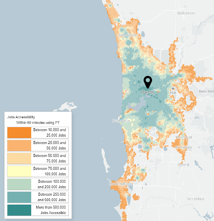
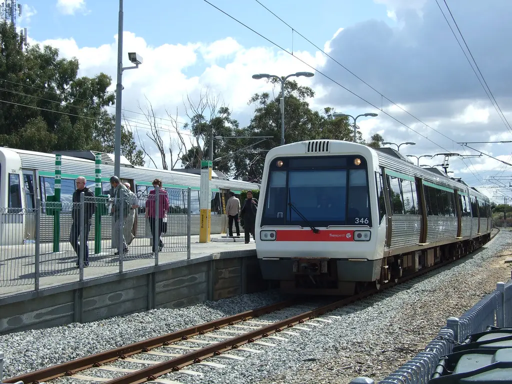
These datasets were complemented in Planwisely by bespoke accessibility analysis undertaken by VLC using Conveyal and GTFS files for Transperth services. For each activity centre VLC developed visualisations demonstrating how far people can travel from each centre within a 15, 30, 45, 60-minute travel time, as well as how many jobs are available to them, with the use of a car or public transport (plus walking). This accessibility analysis provided insights into how well the existing transport network can move people between activity centres and jobs in the Perth and Peel Metropolitan Region, and identified centres with the least competitive public transport services.
The Perth Activity Centres project was progressed to a subsequent stage of ‘Perth Mass Transit’, which focussed on 10 shortlisted potential mass transit corridors linking key inner suburban activity centres. This work leveraged Planwisely for data analysis, including modelled future roadway congestion, public transport patronage, origins-and destinations and mode share. This data was then used to inform a multi-criteria analysis on the corridors.