Planwisely – Location intelligence platform
Key team members


Planwisely is a self-serve location intelligence platform that’s designed to give planners and policy-makers evidence-based insights into urban, regional and open space environments.
These insights can then be used to effectively guide decision making and deliver better outcomes for real people in cities and towns, public spaces and regional areas.
Key features
- Intuitive web-based map interface
- Extensive data library at your fingertips
- Easy-to-use tools and functions for uncovering insights
- Powerful data visualisation for collaboration and dissemination
Made for all kinds of planners
Planwisely doesn’t require GIS experience to use, and it has numerous datasets and functions. This flexibility makes it a powerful tool for a range of planning disciplines including:
- Urban planning and design
- Parks, open space and recreation
- Traffic and transport
- Economic development
- Network planning and site selection
- Tourism
- Smart Cities
- Social planning
Planwisely’s utility means that both private sector and public clients across all levels of governments can analyse rich geospatial datasets and extract insights quickly and easily.
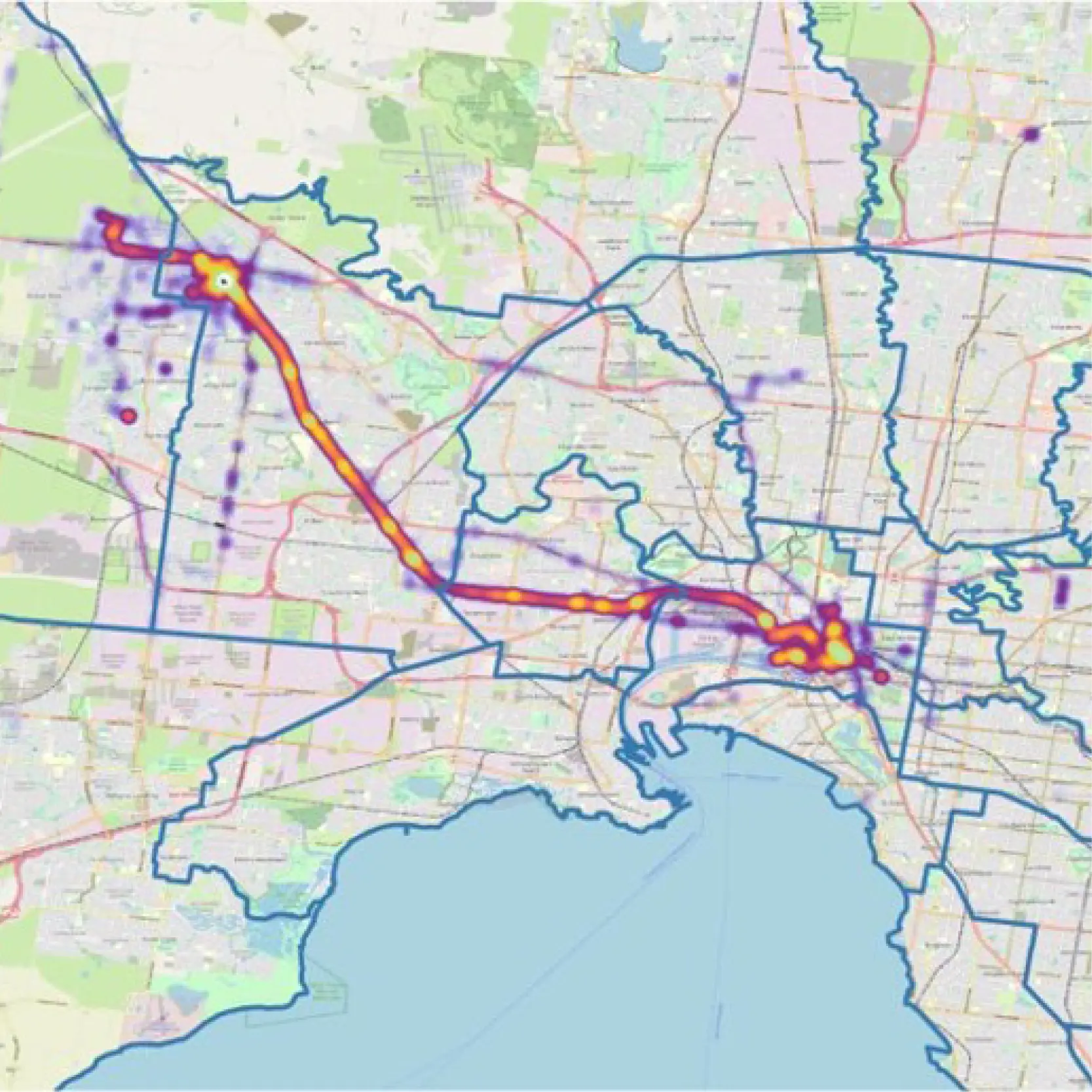
Deep data library
Planwisely puts a wealth of data for the whole of Australia at your fingertips. With Planwisely, it’s easy to:
- Visualise a wide range of demographic data
- See how people move through cities and spaces
- Overlay mobility data for public transport and motor vehicles
- Leverage Zenith Traffic Estimates
- Combine datasets to get deeper insights
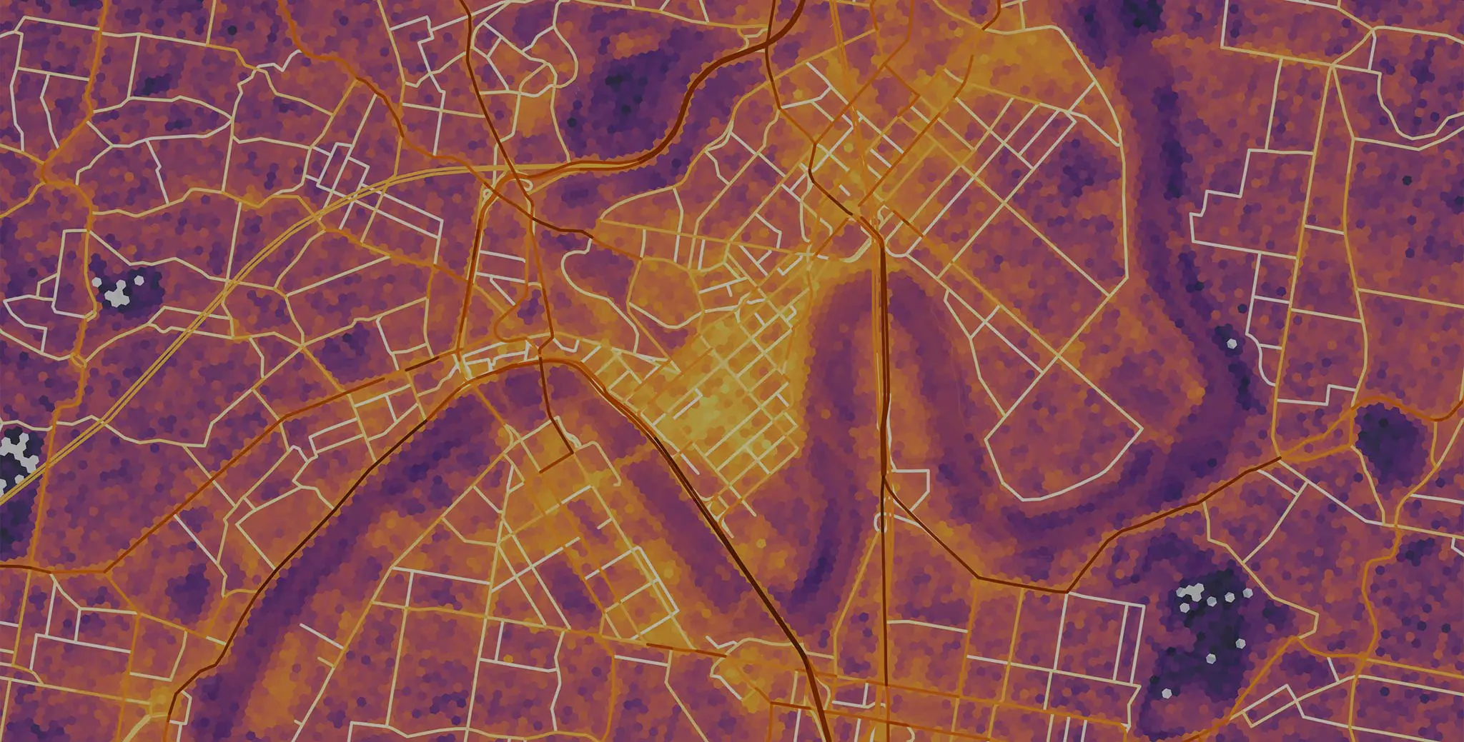
Intuitive tools and functionality
Planwisely gives you the tools you need to find insights and visualise them clearly for your own analysis and for reports and presentations:
- Run catchment analyses
- Securely load your own datasets
- Export customised map views
- Generate reports
- Draw lines, 2D and 3D shapes
- Add icons and text to the map
Want to learn more about Planwisely?
Head to the Planwisely website to learn more about how you can use it to make smarter geospatial decisions or talk to the Planwisely team today: