Our people have a passion for shaping mobility and transport to:
- connect communities
- power economic growth
- build smarter cities
- create a sustainable future
Our projects
High Speed Rail – Newcastle to Sydney Business Case
Ipswich to Springfield PT Corridor Preliminary Evaluation (PE)
Canberra Light Rail 2B EIS Modelling
Coomera Connector Future Stages Business Case
TZP22 Employment Projections project
North East Rapid Transit Feasibility
Perth Long-Term Rail Planning
Hobart Elizabeth Street Vision Plan
LRS2B Bus Network Impact Analysis
Warrawee PSP Modelling
Future of Fremantle
PT Cordon Improvements
Toowoomba Lockyer Valley STM
Townsville STM Update
M1 Pacific Motorway – Daisy Hill to Logan Motorway
G21 Integrated Transport Strategy
Northern Brisbane Network Development
Berwick Activity Centre Access and Movement Report
Molonglo Bus Network Plan
Queensland Long-Term Rail Network Strategy
Greater Wellington Fares Strategy
Shellharbour-Wollongong Multi-Modal business case advice
Ballan Transport Study
Bus Network Development Plan
Future Year Public Transport Service Model Inputs
Electric Vehicle Policy Secondment
Smarter Roads Program Phase 2 Business Case
ACT Light Rail Stage 2 Mawson Extension
Thurrock Strategic Transport Model
Casey 20 Minute Neighbourhoods
North East Link
Platform and Signalling Upgrade Program
Future of Modelling
Transport Measurement Framework
ACT New Network Accessibility
Road Pricing Principles and Objectives
Keon Park Station Car Park Analysis
Wentworth Point traffic impacts modelling
Perth Activity Centres
Suburban and Regional Passenger Rail Interface Study
Review of Flinders Development Movement Network Infrastructure Plan
Zenith modelling of Perth fare cap
Western Sydney PIC PTPM Model Development
Launceston Western Suburbs, Strategic Transport Assessment
French Motorway Demand
High Speed 2 Peer Review
North-South Corridor (Torrens to Darlington) Demand Modelling
Land-use Urban Planning and Transport Accessibility Indicator
M1 Pacific Motorway – Daisy Hill to Logan Motorway Bus Network Strategy
STM Re-estimation
Glen Eira Park and Ride
M1 Pacific Motorway – Varsity Lakes to Tugun
Domestic transport costs and charges study
BARS SEQ Freight Demand Forecast and Modelling Study
Watergardens and Deer Park Station Car Park Analysis
Imputing Telco data true origins
EV Strategy 2022 Business Case Advice
Congestion modelling for Sydney Airport journeys
Wellington Street / Panorama Drive Cost Benefit Analysis
Due Diligence Work
Coomera Connector bus network strategy
Review land use and transport models
MetroNet Extensions Business Case Review
SEQSTM-MM Zone System Review
Transport Modelling for Hobsons Bay Transport Planning Study
Shared e-scooter impacts and opportunities research
Electric Vehicle Strategy Policy Modelling
Toowoomba to Brisbane passenger rail
Expert Witness Statement for West Gate Tunnel Project
Park Ridge Aimsun Model
45 Minute Region
M1 Pacific Motorway – Eight Mile Plains to Daisy Hill
PT Fares Modelling using MABM
M1 Daisy Hill to Logan Motorway – Bus Network Strategy
COVID Modelling
Region-Focussed Model Development: Phase 1B
Launceston multi-modal model
SEQ Evaluation Framework
Sunshine Coast Mass Transit
Demand modelling for S2CW and S2B Strategic Business Cases
Demand modelling for S2C scoping phase
Great Western Highway upgrade program modelling
Road User Charging Modelling
CIT Woden Interchange
Coomera Connector
Incheon Bridge
West Gate Tunnel
FAL Accessibility Analysis
Impacts of disruptions on patronage
Review of CGC Transport Assessment Methodology
Future Travel in Australian Major Cities
Sydney Trains Customer Impact Tool
NSW Regional Travel Model for Faster Rail
Rail improvements and land-use changes
Tropical North Queensland Electric Vehicle Tourist Drive
Australian Infrastructure Audits
M1 Pacific Motorway
Canberra Light Rail (Stages 1 & 2)
M80 Ring Road Business Case Refresh
Network analyses for the major capitals
City to Woden Light Rail – Bus Integration
Greater Broadmeadows transport modelling and movement assessment
Melbourne level crossings removal
Illawarra road connectivity research
Move Census Update
Port of Melbourne lease bid
Northern Connector toll modelling
Greater Flagstone Priority Development Area strategic modelling
Redland City priority infrastructure plan
Strategic reviews of major infrastructure business cases
Western roads upgrade
Roe Highway
Toowoomba Second Range Crossing forecasting
West Byron/Belongil Fields urban development
East West Link
Perth River crossings
Riverside Drive closure
Melbourne Metro Tunnel
Sydney Metro
Our expertise
Transport analytics and forecasting
The future of transport is shaped by many factors, including population growth and land use, cost of travel, technological advances, and government policies. Transport modelling provides evidence based solutions to make planning for an uncertain future easier.
Learn moreTransport economics
Our team applies their deep experience in travel forecasting and transport economics to provide third-party reviews of business cases and economic appraisal reports.
Learn moreTransport planning
Evidence-based advice for planning and investment is at the foundation of everything we do. We embrace innovation in technology, planning and the use of data to develop transport strategies that are practical and technically sound.
Learn moreSustainable Cities
Our Sustainable Cities team helps our clients understand the effects that transport and land use policies have on the sustainability of their city and, in doing so, empower them to make informed decisions that contribute to a more sustainable future.
Learn moreTransport policy
VLC’s transport policy team covers all facets of policy development. This includes goal setting, ideation, research, data analysis, stakeholder engagement, surveying, workshop facilitation, options analysis and the preparation of policy and strategy recommendations and reports.
Learn moreStrategic advisory
Our team is focussed on supporting public sector organisations to deliver - from defining objectives that connect government priorities with individual initiatives, through to helping develop organisational strategy, VLC can help articulate roles and explain the value of proposed projects towards high-level outcomes.
Learn moreExpert advisory
Our expert advisory service provides clients with independent advice on economic and transport forecasting analysis in areas ranging from business case reviews to peer reviews of modelling reports and expert legal testimony.
Learn moreOur Solutions
Planwisely urban analytics platform
Planwisely is a fast and easy to use cloud-based mapping platform which enables urban planners, transport planners, community services planners and key decision-makers to gain insights into the urban form.
Visit Planwisely
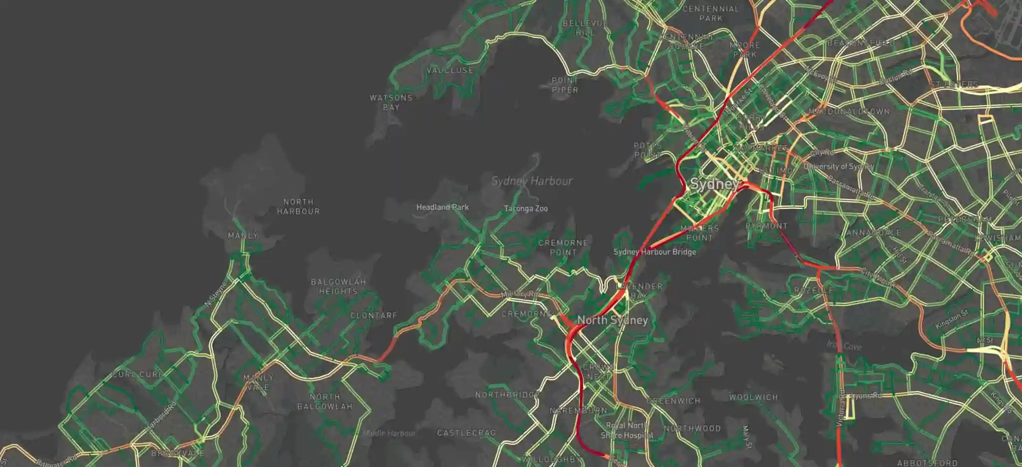
Zenith multi-modal transport modelling
Zenith is a comprehensive and constantly expanding travel demand model. Its distinguishing feature is its ability to accurately simulate public transport systems and services, as well as the characteristics and performance of the road system.
Visit Zenith
Spatial integrated land use modelling
VLC has developed an integrated land use model – Spatial – which is a technically robust yet simple model that is designed to integrate seamlessly with strategic transport models.
Visit Land Use