Case study: Cross River Rail and the benefits of LUTI
22 January 2024

Transport projects often aim to induce land use changes, but in standard project modelling and appraisal, land use impacts are either totally ignored or applied in an ad hoc way. Using Brisbane’s Cross River Rail as an example, let’s take a look at a solution to this missing piece of the transport modelling puzzle.
Without considering the land use changes generated by transport projects, transport model analysis can run the risk of painting an incomplete picture of the impact and benefits of transport changes and can lead to suboptimal project outcomes. Land Use Transportation Interaction (LUTI) modelling is an approach that addresses this problem by estimating the likely land use impacts of transport projects based on the attractiveness of locations when they experience a change in transport accessibility.
The standard approach to dealing with land use change in modelling-based project appraisal is either to assume no change at all to land use when the project comes online, or to apply spreadsheet-based top-down assumptions about land use change based on largely subjective professional judgement. Instead, integrating LUTI allows for those changes to take place contextually and to be informed by the calculated change in transport accessibility estimated by the transport model. Recent innovations in spatial economics research have seen new methods arise within the field of LUTI modelling, making the process simpler and more achievable than it previously was.
Using the Cross River Rail as an example, let’s investigate how adding LUTI modelling to your transport modelling analysis can lead to more robust appraisal outcomes and better decision making.
Analysing Cross River Rail
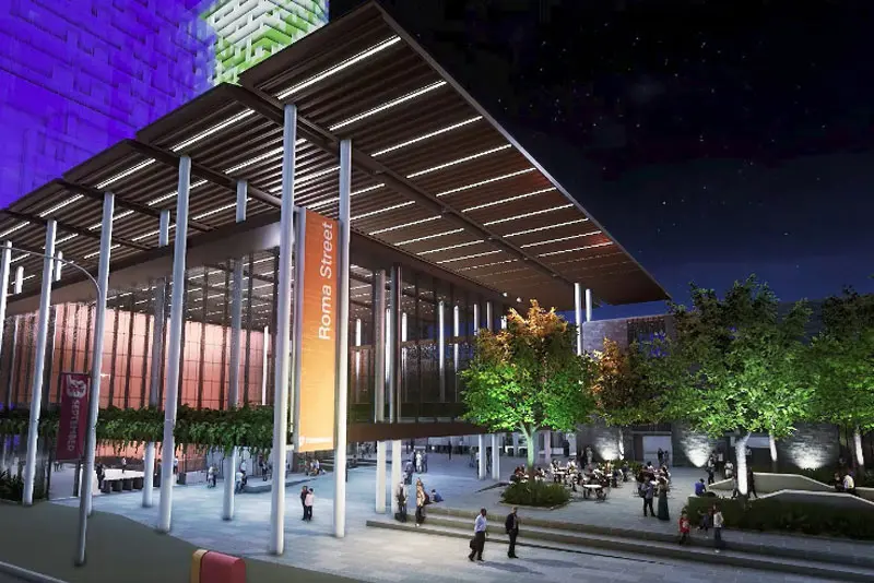
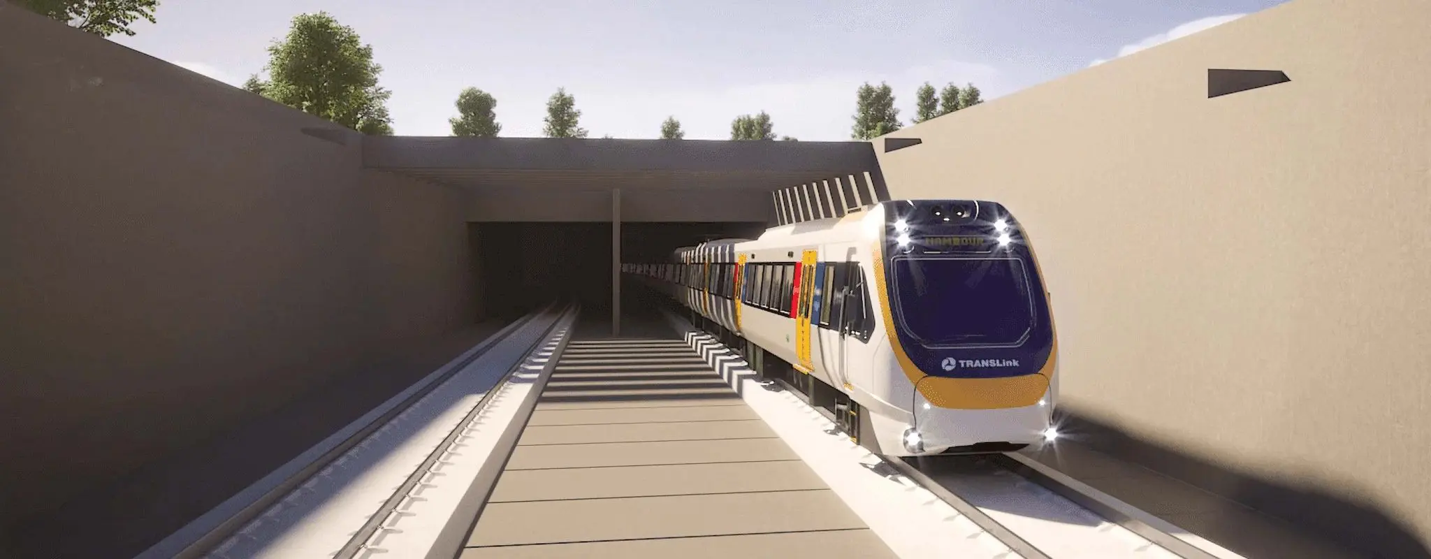
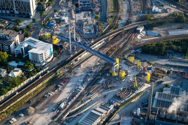
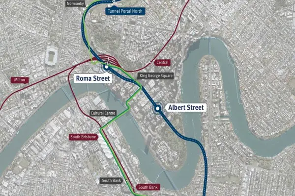
Cross River Rail (CRR) is a new 10.2km rail line (crowned by twin 5.9km tunnels running under Brisbane CBD and the Brisbane River) currently under construction. By delivering new stations, rail lines and high frequency services, the project is expected to address the rail capacity bottleneck across the Brisbane River and increase accessibility to numerous areas – most prominently the city centre. With its wide scope and large-scale land use impacts, CRR is a timely and relevant case study to demonstrate the benefits of LUTI.
For research purposes only, VLC undertook a case study to look at the impact of CRR using Zenith – VLC’s strategic transport model, using publicly available information on the under-construction CRR project.
In combination with Zenith, we integrated Spatial, VLC’s own land use model. Spatial applies recent advances in urban economic theory and is directly calibrated to local data on population and employment from the ABS, as well as local data on residential and commercial rents.
For the analysis on CRR, we used Zenith to model the following scenarios for the year 2031:
- Base case (no CRR) – QLD Govt publicly available land use projections
- Project case (with CRR) – as above, without land use modelling
- Project case (with CRR) – as above but with land use modelling (LUTI)
For project case #3, we integrated Spatial into the process and fed the calculated adjustments to land use back into the transport model and then back through this step again several times until the integrated models converged over time to a stable equilibrium.
The results
The results of the Cross River Rail modelling that included Spatial LUTI feedback showed:
- The calculated transport user benefits of the transport project were around 34% higher compared to the scenario that didn’t include land use modelling.
- There were around 9,000 more rail boardings relative to the no land use modelling scenario.
- The city-wide public transport mode shift to public transport was amplified by a factor of 1.8x the shift otherwise observed in the no land use modelling scenario.
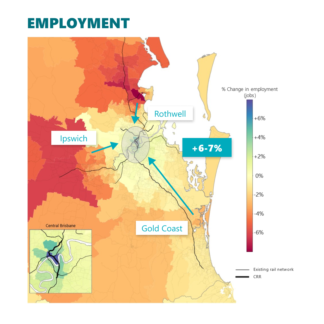
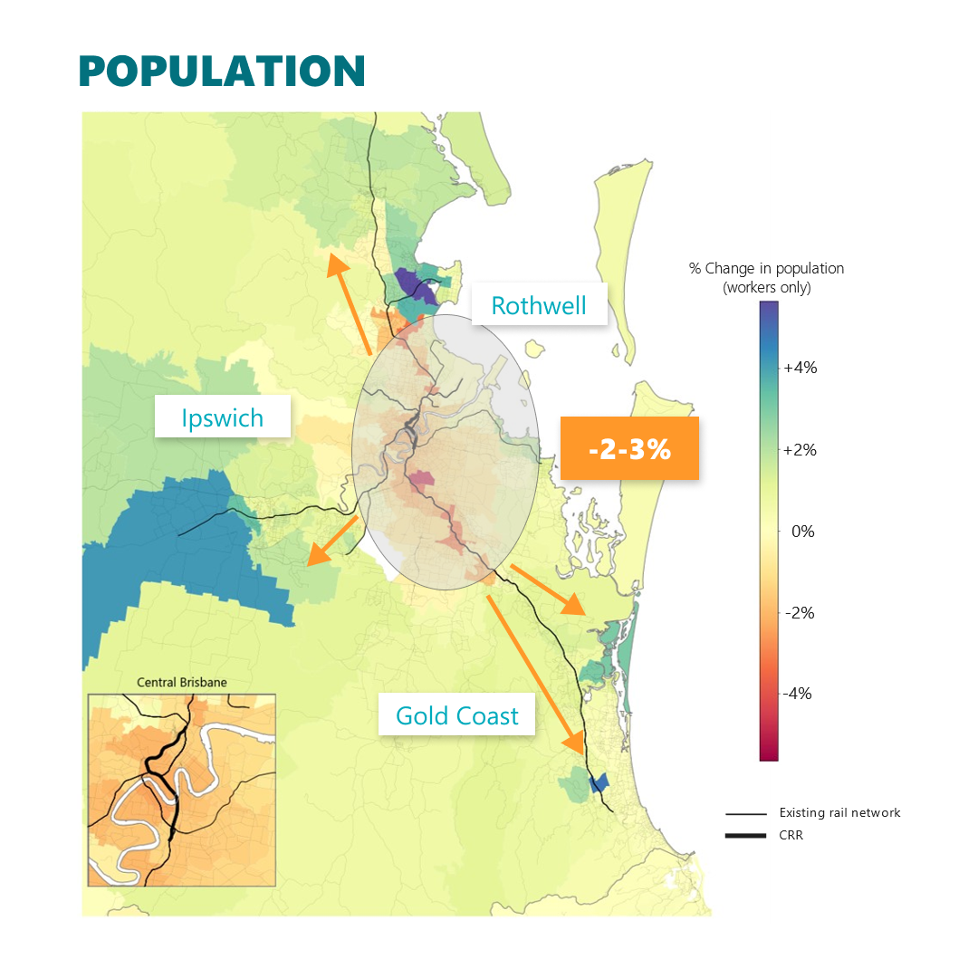
The modelled spatial impacts on population and employment in Greater Brisbane with CRR are intriguing. The LUTI modelling suggests that CRR will lead to:
- A centralisation of employment (jobs) into the CBD
- A decentralisation of where people choose to live. Some residents appear to take advantage of the improved rail access not by staying where they are, but by relocating further out to cheaper housing.
Using CRR as a broader example for the benefits of LUTI modelling, estimating land use impacts during the modelling stage offers planners a more realistic insight into a project’s outcomes – helping to better inform decision making and guide project planning.